 |
| Cheesecake destruction! |
We hung out at the hotel for a few hours discussing the terrible trail conditions near Bonaparte Mountain, and how surprisingly nice the Whistler Canyon trail down into Oroville was. He and his buddy had taken the longer, flatter route around the mountain and dealt with 9 miles of miserable blowdowns. I was glad to hear I'd made the right choice in trying the steep trail. If one of us had to deal with tough trail, better him than me! Eventually, his hiking buddy showed up, along with another friend from the PCT back in 2005. We spent the day at Lake Osoyoos swimming and eating ice cream. Life is hard out here.
 |
| A half gallon of ice cream is a meal for one, right? |
Day 31 - Oroville to Beef Pasture Cabin Daily Mileage: 31
 |
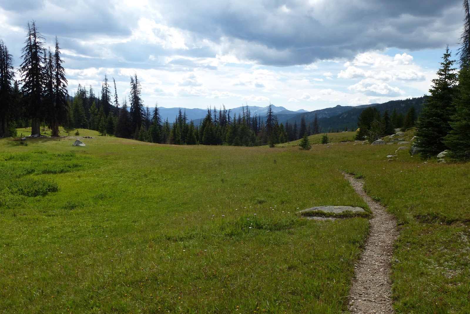
| Simiklameen River |
Hey! Where are you headed? {As you point to number one on your chest}
#1 Canada
What!? Where did you start?
#2 Mexico
Huh? And you're walking the whole way?
#3 Yup
Whoa! What do you do for food?
#4 Well...I carry it all with me. I stop in towns every few days or so.
And you're really walking the whole thing?
See #3
#5 Why yes...I would love some food/drinks/beer. Thank you!
Million dollar idea right there.
Later in the afternoon, just before turning off the main road to head up into the mountains, we got a quick hitch to Loomis to get some cold drinks at the gas station. 32oz of Coke followed by a 32oz rootbeer float. Nice. We somehow got another quick hitch back to the turnoff and started up the long road into the mountains. I was aiming for Cold Springs, but just couldn't quite make it. All the hot road walking had killed my feet. Trying to keep up with Tomato also didn't help. As the climb steepened, he pulled on ahead, and that was the last I saw of him. Oh well...so go thru-hiking friendships. Hopefully we'll bump into each other again someday. I set up a tired camp near Beef Pasture cabin and called it a night.


Day 32 - Beef Pasture Cabin to Teapot Dome Daily Mileage: 20
 I got up late and hit the trail by 7:45. I finished the last of the climb up to Cold Springs Campground (disappointing campground and crappy spring). In more positive news, it's officially been one month since I first hit the trail. This was celebrated with a Snickers at my mid-morning break. My feet were a bit tender from all the road walking and trying to keep up with Tomato, so I lingered a bit longer than I probably should have.
From the campground, the road flattened out and turned into a trail. I followed Tomato's footprints for most of the day, which was somehow comforting. Don't be too impressed with my tracking abilities though. Though I've spent years honing my skills, mostly I was able to discern Tomato's prints from all the others because he is not either a deer or a cow. Apparently no one else uses these sections of trail.
I wish I could have walked farther today, just to take in more scenery, but my feet told me to stop around 6:15 near Teapot Dome. After my usual cookpot shower, a huge dinner of Mac & Cheese with Chili and homemade salsa, and a nice cup of tea, I hopped into bed and got some good reading done as the sun went down.


Day 33 - Teapot Dome to Peeve Pass Daily Mileage: 27
 |
| Cathedral Lakes basin |
 |
| View from my tent |
I had hoped to make it a 30 mile day and end at Quartz Lake, but my long stops at Cathedral Lakes and for lunch meant I only made it to Peeve Pass. I'm happy with 27 miles on the day, and I have a beautiful spot with a fantastic view. I watched the sunset light up the mountains to the south of me from my sleeping bag, and had a very peaceful night.


Day 34 - Peeve Pass to Chuchuwanteen Creek Daily Mileage: 22
 |
| Good morning! |
As I packed up from lunch, I was feeling great. Unfortunately, that was all about to turn around real quick. The trail along the Pasayten River wasn't too bad, but was faint and overgrown and a bit difficult to follow. I came to a tree with a sign pointing to the Harrison Creek trail. Even though I was sure this was the turn, there was absolutely no trail to be seen. I plowed on through the brush and trees and just started to follow the hill up, staying parallel to Harrison Creek, about where I knew the trail should be. Every once in a while, I'd see what could be a hint of a trail, but it would quickly be lost in a tangle of blowdowns, high brush, and eroded hillsides.
It was a rough few miles of climbing before I hit the last 1000' of elevation gain up to the ridge. The terrain steepened, and then it started to rain. Hard. I was pretty much soaked instantly, and pushed on up the hill to holdover ridge. Just about the time I reached the top, lighting and thunder started in, and I was forced to take refuge under some of the few trees left alive from recent fires. I huddled under them for about 45 minutes as rain, hail, lighting, and thunder continued.
 |
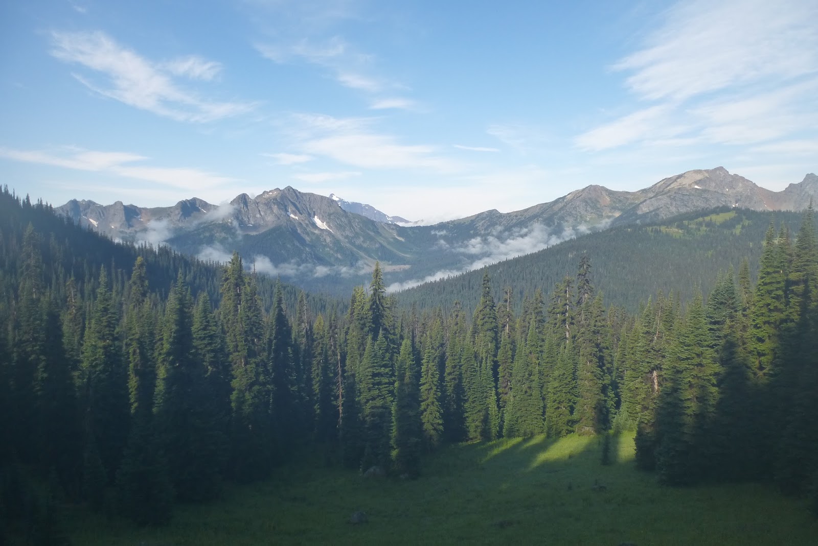
| Sheep Mountain views |
 There was no way to bypass the tree wreckage, so I just had to slowly pick my way over, under, and through. Eventually, I hit the creek, and just walked down the middle of it. There were less obstacles, and I was already totally soaked anyway. My progress had been really slow, and at 8pm I had no choice but to start looking for any flat, non-swampy spot to set up my tent. I found one at 8:30 as it was starting to get dark, and set up in a hurry. Between the soaking from the bushwhack and the rain while setting up, things were pretty damp by the time I got myself situated.
I really hated the feeling of camping somewhere with no signs that humans had ever even been there. I pulled a flatish rock from the creek to serve as my cooking surface. I really didn't have the energy to cook, but I knew that a hot meal would make me feel a little better. I was able to cook from inside my sleeping bag (not the best idea, I know), and get my thoughts together. My GPS was on its last bit of battery, but it showed that I was right where a trail should be, and that I had about 2 miles of following the creek tomorrow before turning west to climb up to Frosty Pass.
At this point, I was in pretty bad spirits. I was ready to get the hell out the woods! Unfortunately, I had no easy way to get out, and had a lot of miles ahead of me. I hoped that maybe I could pass someone on the PCT who would know an easy exit point to Hwy 20 where I could hitch out to a warm bed somewhere. I went to sleep easily, and hoped for the best tomorrow.
Day 35 - Chuchuwanteen Creek to Holman Pass Daily Mileage: 22
 |
| Drying out gear at Frosty Pass |
Though I was completely soaked, my spirits were picking up as I climbed up to Frosty Pass. Around noon, just as I crested the ridge, the sun even came out! I made the best of it, and set out all my gear at the pass to dry while I had lunch. The burning desire to get the hell off the trail had faded, and I was almost excited to keep moving on. After a half hour, I packed up and headed over to Castle Pass where I'd intersect the PCT. I knew the PCT had to be good tread, and I couldn't wait to get back to trails that people actually walked on! Of course, the tread on the PCT was as great as I'd expected, and I finally got to make some good time down to Holman Pass where I planned to camp.
Every step along my 13 miles of the PCT was spectacular. There were views in all directions, and even the trail was amazing. It's just beautifully carved right out of the mountainsides, and makes for really engaging walking. I had to turn off the PCT at Holman Pass to head west to Ross Lake. I set up at what I thought was a nice camp next to a pleasant stream. Once again, I had no idea what I was in for...


Day 36 - Holman Pass to Ross Lake Daily Mileage: 29
Though I went to sleep at 9:30 to clearish skies and a nice sunset, I heard distant rumblings. It didn't take long for those to catch up with me, and the rain started in around 10. The flashes of lighting became more and more frequent, and then suddenly, all hell broke loose. The rain turned to quarter-sized hail, thunder rolled up and down the valley in a constant roar, and lighting flashed so constantly that I didn't even need a headlamp. Though I hadn't set my tent up in a particularly bad spot, the rush of ice and rain was just too much and I suddenly had an inch of freezing water running under and through my tent.
I was worried that the hail would tear my tent apart, leaving me with absolutely no protection, and I braced the flat top of my tent with my hands for the duration of the hailstorm in hopes that nothing solid would come through. Most of my gear was floating by this point, but somehow, my sleeping bag escaped the worst of it. I finally got out of my bag and just let it float on my foam sleeping pad, and this seemed to work surprisingly well to keep it out of the flood.
After over an hour, the rain and hail subsided enough that I could start dealing with my gear. I used my towel and cookpot to bail the water out of the tent, and assessed the damage. [I would later find out that this storm caused massive slides that closed Hwy 20 for almost a week and stranded 60 people up the Cascade River Rd.] My pack was totally soaked, along with all my clothes. By 12:30, I had things as clean and dry as they were going to get, and I tried to get some sleep. The rain returned around 2:30, and it kept me awake as I waited for another flood. Luckily, this time, the rain was lighter and my tent kept most of it out.
 I got up at 6:15 to clear skies and a beautiful morning. There was a 3" layer of marble-sized ice pellets covering the ground, and the creek had turned from a peaceful babble into a muddy roar, but other than that, you'd never know that an intense storm had blown through a few hours before. I packed up my filthy and soaking wet gear, and headed down the trail. Again, I set my gear up at lunchtime to dry out, but things were so wet that they didn't really get fully dry. That was ok, because I was convinced I could make the 30 miles out to Hwy 20 at Ross Lake and get myself to a hotel (or maybe home).
 The long descent from Devil's Dome down to the lake seemed to take forever, and the rain rolled back in around 2pm. I got another hail shower, though not as fierce as the night before, and a lot of rain. The walk along the lake dragged on and on, but the thought of a warm bed kept me going. I made it out to the highway at 7pm, a bit later than expected, but still plenty early enough to get out of the mountains. Traffic seemed strangely light, and two hours of waiting didn't produce a ride. I was getting desperate, but couldn't bring myself to actually step out into the road and flag someone down. I set up my wet tent in the parking lot at 9pm and finished off the last few bites of peanut butter I had left. That was it...out of food.
My bag kept me surprisingly warm, even though it was damp, and I slept decently. The wet pillow wasn't real pleasant though.
The next morning it took me about 45 minutes for someone to finally pick me up. When they did, I found out that Hwy 20 had been closed for a two days, which was why traffic was so light. I had a nice breakfast in Marblemount and was forced to call my parents for a ride back home. I needed a day or two to recover, dry my gear, and mentally prepare for the next 180 miles out to the coast.


No comments:
Post a Comment